CADdy 2019 - new sensors and CAD technology for Intergeo
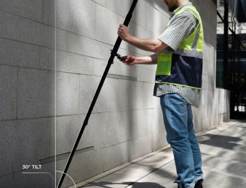
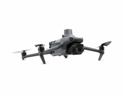
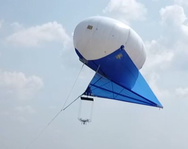
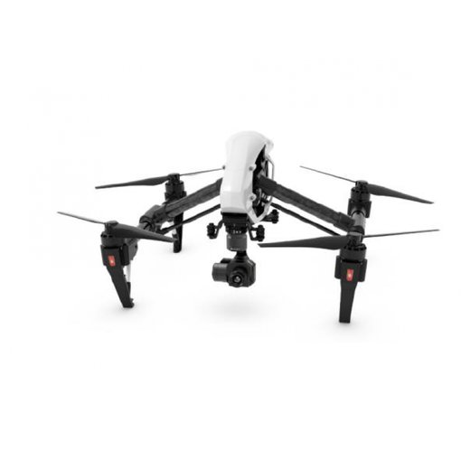
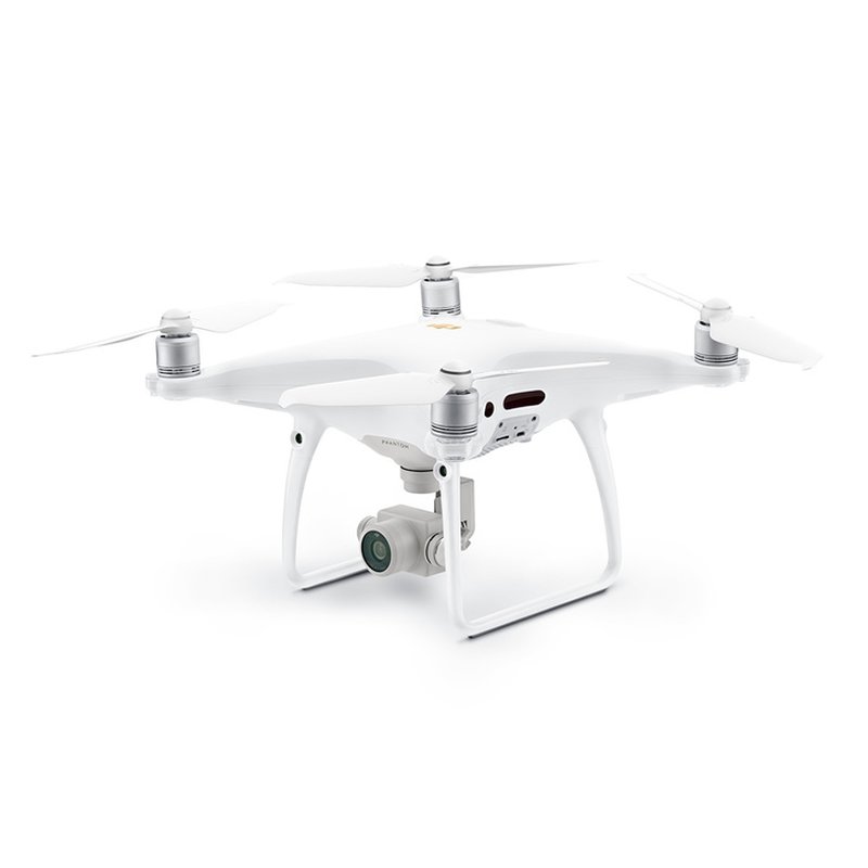
made to manage your world - Managing your world, measuring easily and quickly, finding new markets for measuring, that has always been our most important motto. And we would like to show you and prove it. You will find us in hall 12.1 stand 12.1C.089 from 16. -18. 10 in Frankfurt am Main. We show you: Flying Surveyor - the cost-effective surveying system with consumer drones - the perfect workflow for exact 3D data acquisition from the air. >> more info SkyEye - Unlimited flight times with balloon drones and classic flyingsurveyor technology. Systems for security technology, construction sites, parking spaces. and traffic control. >> more info Swimming Surveyor 2- new fully autonomous survey boats for underwater surveying, RTK supported, >> more info Moving Surveyor - Measure to the centimeter with smartphone and GPS technology >> more info CADdy 3Dsurvey - 3D modeling from aerial photos - exact, fast and functional >> more info CADdy CAD / GIS 2019 the new world for geodetic planning, available on almost every device and operating system WebCADdy - CADdy Classic - CADdy BricsCAD
Helmut Wenninger 2018-10-09T12:48:11+02:00