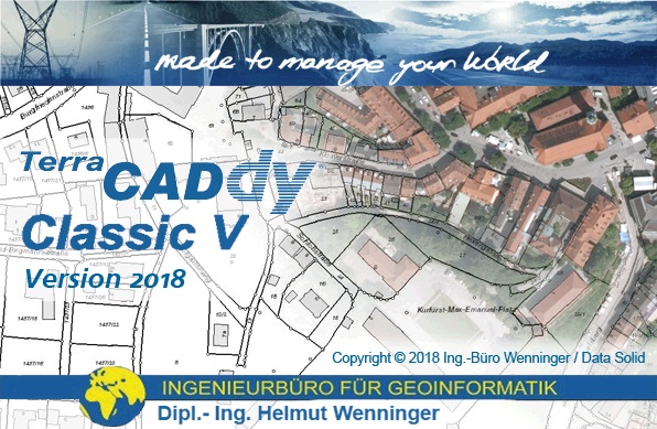
Over 30's years of experience and continued development have made CADdy V one of the most advanced CAD systems for geodetic data conditioning, surveying and layout design.
CADdy Club members can play a decisive role in shaping the further development of their "favourite" CAD with their wishes and suggestions for improvement. They also benefit from the CADdy auto update functionality and always keep their software up to date.
The first updates for their current CADdy Classic V Version 2018 2018 are now available for you from the beginning of August on our update server. Your CADdy will alert you as usual with an icon in the Windows system tray.
In addition to minor functional improvements, there are two adjustments in the DWG converter.
- Support for the latest DWG 2018 format
- Output of all survey point attributes (point number, point height, point class) as DWG block attribute, also for 3D DWG export with CADdy-DGM. Thus, these are also available graphically in the DXF / DWG
When importing CADdy coordinate files with line connections, contiguous polygons (CADdy sequence number 8) are now generated, not just individual lines.
Of course, we are also involved in the implementation of new ideas and technologies from the geo-world, so it remains exciting!
Need help with CADdy functionalities?
Are you interested in a CADdy upgrade to the latest software version?
No problem, contact our CADdy support via ph@wenninger.de or by phone at (089) 427422 21.