channel planning
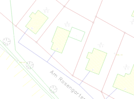
The channel database of CADdy Classic is the ideal tool to manage the technical data about a channel management efficiently and to evaluate graphically and technical aspects. Almost every detail is depicted in the factual database and efficient tools from MS Access make evaluation and list generation a simple task. CADdy KDB offers a whole range of functions for the management of sewer networks.
Feature Overview:
CADdy KDB offers a number of functions for the management of sewer networks:
- Input and output of ISY construction data and free ASCII data
- Capture, display and manage complex sewer networks with the latest Microsoft Access form technology
- Creation of longitudinal and cross sections
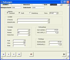
- automat. Creating posture sketches (this feature creates from the posture database sketches for each posture)
- 3D Visualization of sewer networks
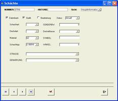
- Data editor for shaft attitude and connection data
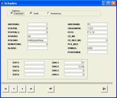
- Data editor for damage according to ATV A 149 (Nov9) with the integration of the canal telesuper examination
- Determination of restructuring proposals
- Comprehensive filter functions for the selection of detailed data, Mesh cutouts etc. (eg: shaft numbers, cover types, material, type of shaft) no matter if elements in the database or in the graphic.
- Comprehensive log and list functions for free output of reports
- Automatic calculation functions for transferring CAD elements to the database (linkage editor)
- Master data editor for managing all possible entries
- Extensive statistics functions
- extensive material database for the shaft and line data
- Reference data editor for material data, street names, profile types and district affiliation.
- Definition of catchment areas
- Freely definable posture texts with automatic placement
- automatic legend building
- automatic shaft labeling and clearance for densely packed texts with height label lettering
- Representation of bottom and slope lines
- Machine. train tracking
- Freely definable grid lengths in the planning part
- Integrated into other civil engineering modules eg road planning with common cross sections and profiles


