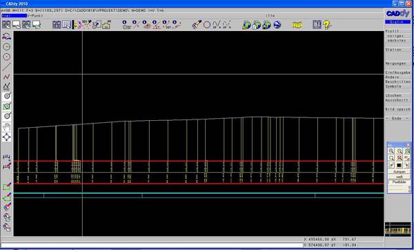
Profile
These modules are already included in CADdy V.
In order to complete the functions of a survey / mapping program, the ability to generate and evaluate longitudinal and cross sections has been implemented in TerraCADdy. In this way, data can be obtained from a Digital Terrain Model in a very short time, which can be essential for an overview, planning and implementation.
AXS / LNG / QUE TerraCADdy Classic axes / longitudinal profiles / transverse profiles
In a few simple steps, TerraCADdy allows the user to create any axis in his Digital Terrain Model (DTM) by creating longitudinal and transverse profiles and saving them individually and separately (* .axs / * .lng / * .que) , This increases the clarity as well as the planning and processing efficiency.
RQD TerraCADdy Classic standard cross-section
For users in traffic planning, the additional possibility of generating a standard cross-section (* .rqd) in TerraCADdy is given. The individual attributes
- gradient height
- road slope
- Distance, banquet and trough width
- slope ratio
- and many more.
can be specifically Deffiniert here.
TerraCADdy Classic mass calculation
Longitudinal or cross sections can be used for surface calculation according to Elling and thus allow a simple and straightforward possibility of mass determination between the longitudinal and cross sections.
Good control
The control of the calculations can be carried out both graphically and within a written protocol and understand.


