Description
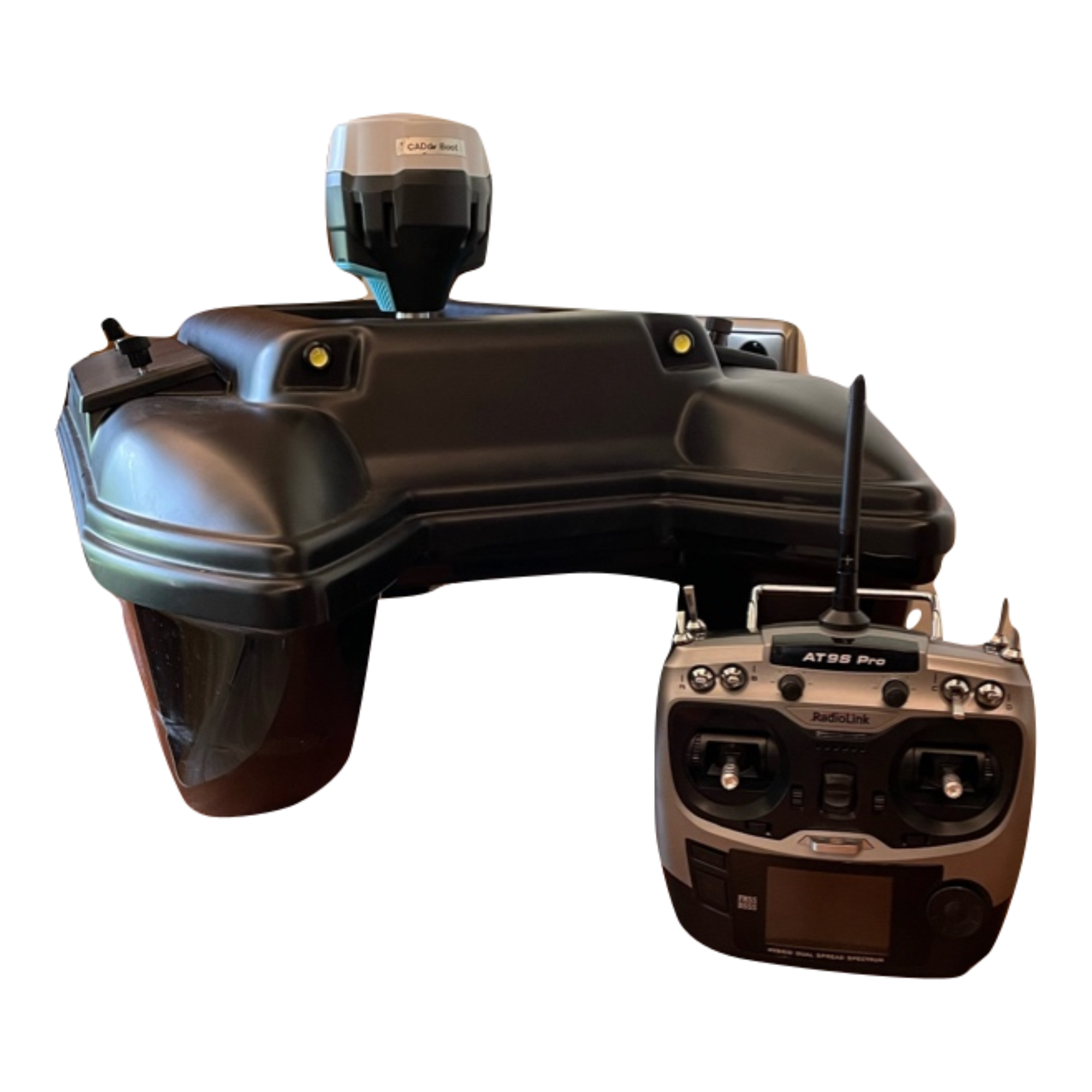
The brother of the Swimming Surveyor 3 - Built for rough water and accurate results. Equipped with everything a survey boat needs. Base-Rover RTK GNSS for high-precision autonomous driving, a central processor from drone technology that summarizes all values (x,y,z) and saves them on an SD card. The boat has a manual range of 500m and can measure depth from 0.50me to 70m. Control is via a radio link remote control or, in the case of autonomous operation, via an app analogous to drone control. The measurement accuracy is in the range of less than 1 dm. If necessary (e.g. inaccurate map material), the measuring area can also be recorded on the basis of an aerial photo georeferenced in the field.
The evaluation and data transmission takes place in the proven, browser-based (and therefore system-independent) WebCADdy. The coordinates are then transferred, displayed, possibly corrected or too many measuring points are deleted and transferred to the target system (CAD/GIS) in any desired coordinate system. In connection with the "Flying Surveyor" workflow, the combination of above-ground and underwater coordinates is also possible, for example for mass determinations and profile displays.
The boat is always delivered with an individual 1-day training (Learn&Earn). Appointments for this are agreed at the time of purchase.
If you wish, we can also drive and evaluate one of your projects as a demo.
Equipment:
- closed hull ABS material catamaran construction
- Weight depending on battery configuration approx. 10 kg
- Brushless boat motors specially designed for water operation with cage-protected 3-blade speed screws
- RTK equipment multi-frequency GNSS for cm accurate positioning and measurement (currently Emlid Reach RS2)
- Control processor Pixhawk 4 with ext. Compass/GNSS
- Measurement on integrated CPU (and synchronization) in native coordinate format WGS84 and water depth (can be transformed at the push of a button)
- Synchronization and visualization of the measurement results in WebCADdy (1st year included, then €20/month plus VAT)
- Export in all common coordinate systems and CAD/GIS formats
- including remote control (RadioLink)
Optional accessories:
- Carrying case
- additional batteries
- Standard batteries 20.000mAh LiIon battery
- Larger batteries for longer driving times (e.g. 28.000mAh)
- Upgrade Emlid Reach RS2 to Emlid Reach RS3 (incl. inclined measurement up to 60°)
- additional multi-frequency GNSS RTK receiver for base/rover operation
- Lead weights for individual weight distribution
- Camera for current image transmission
- Dual charger for parallel charging of 2 LiIon/LiPo batteries
Any questions? Talk to us: 089 427422 22


