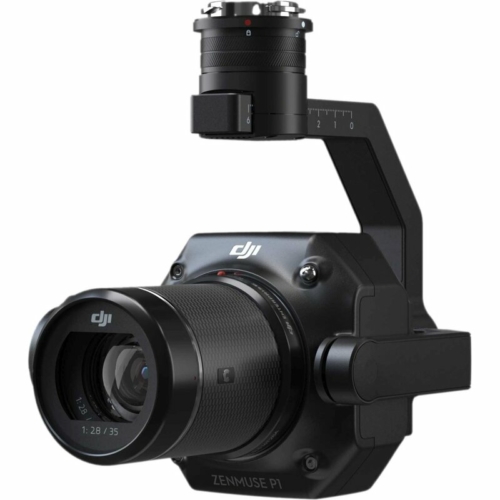
Description
Zenmuse L1 - Instant Clarity. Highest accuracy.
A lidar + RGB solution for measurements from the air
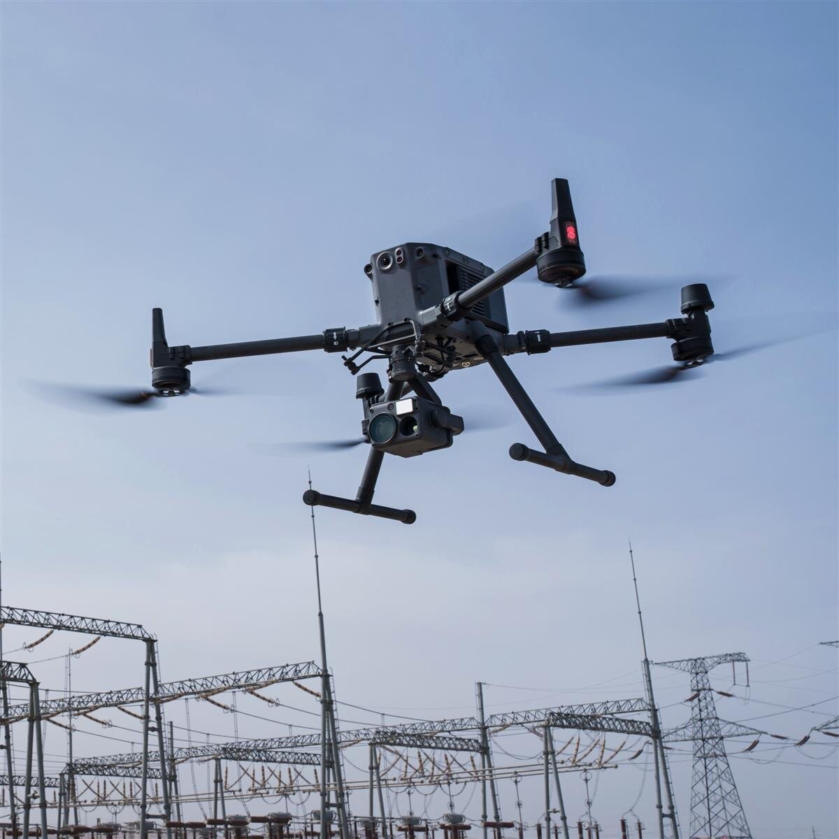
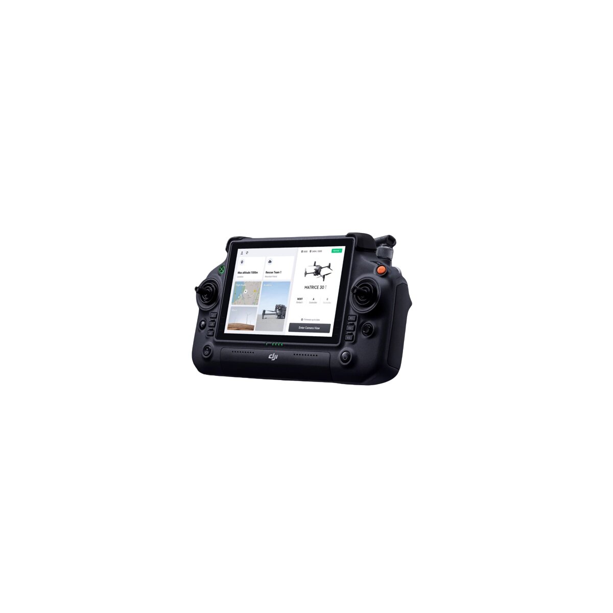
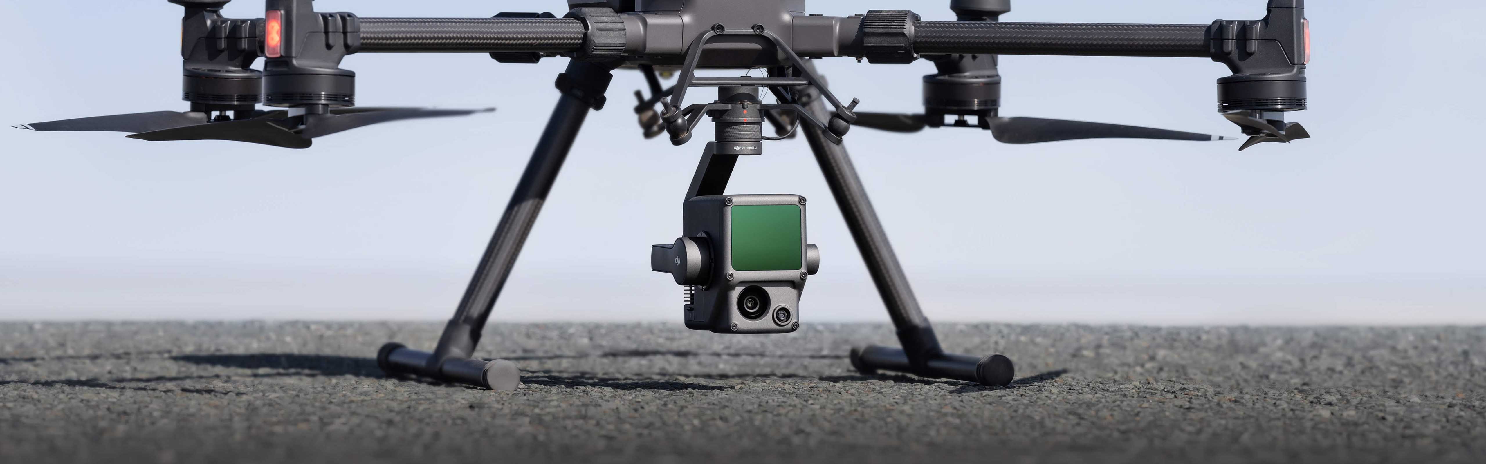
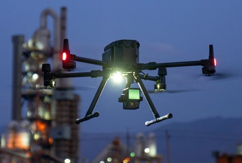
The Zenmuse L1 includes a Livox lidar module, a high-precision IMU and a camera with a 1-inch CMOS on a gimbal stabilized on three axes. When used in conjunction with the Matrice 300 RTK and DJI Terra, the L1 forms a complete solution that provides you with real-time 3D data throughout the day. It captures the details of complex structures and delivers highly precise reconstructed models.
- Includes a lidar module, an RGB camera and a high-precision IMU
- High efficiency 2 km2 covered in just one flight
- High accuracy Vertical accuracy: 5 cm / Horizontal accuracy: 10 cm
- Dot rate: 240.000 pts / s
- Supports 3 return signals
- Range: 450 m (80% remission, 0 lux)
- Degree of protection IP44
- Live view of the point cloud
Uncompromising digitization
Exceptional efficiency
Create true-color point cloud models in real time or acquire the data from 2 km2 point clouds in just one flight [1] with the Livox frame lidar module with a field of view of 70 ° and a camera for visible light with a 1-inch sensor.
Incomparable accuracy
Render reconstructions down to the centimeter thanks to the high-precision IMU, a vision sensor for positioning accuracy, and the inclusion of GNSS data.
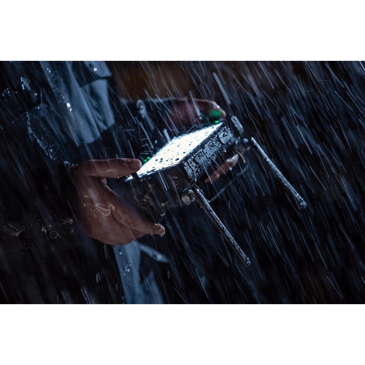
Ready when you are too
The protection class IP44 enables the operation of the L1 in rainy or foggy environments. The active scanning process of the lidar module enables you to fly at night.
Visualize data in flight
Livox lidar module
- Frame Lidar with up to 100% effective point cloud results
- Detection Range: 450 m (80% reflectivity, 0 klx) / 190 m (10% reflectivity, 100 klx)
- Effective Point Rate: 240,000 pts / s
- Supports 3 returns
- Line Scan Mode and Non-repetitive Petal Scan Mode
Everything in view
RGB camera
- 20MP
- 1 inch CMOS
- Mechanical lock
Precise details at your disposal
High-precision IMU
- Accuracy: 0,025 ° (roll / pitch angle) / 0,08 ° (yaw)
- Vision sensor for positioning accuracy
- GNSS, IMU, RGB data fusion
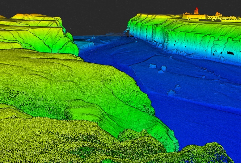
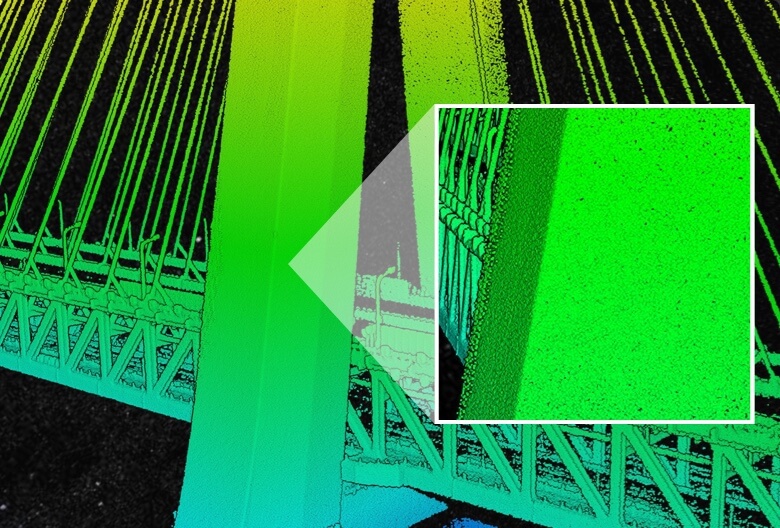
Recreate the world in 3D point clouds
Live view of the point cloud
Real-time point clouds provide instant on-site insights so operators have quick information at hand for critical decisions.
By checking the point cloud data immediately after each flight, you can also check the quality of the field work.
Measurement and commentary
Capture and communicate critical dimensions of the point cloud model using measurements and annotations.
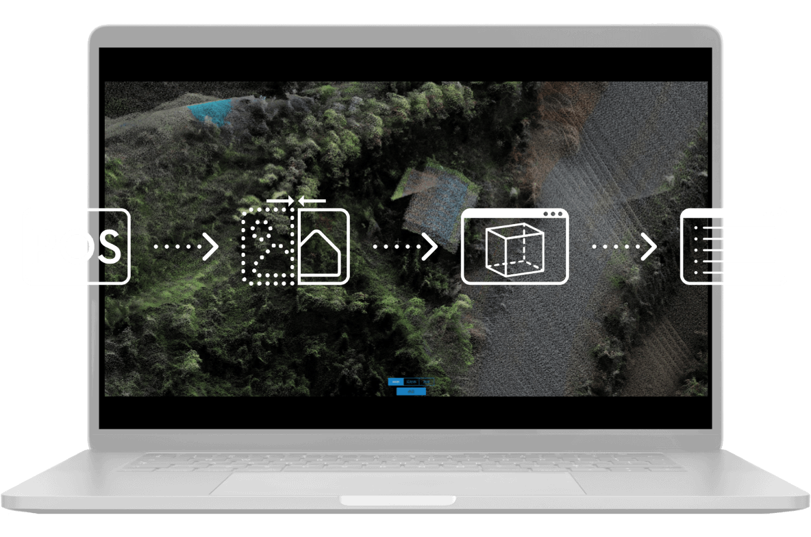
Post-processing from a single source
DJI Terra merges the IMU and GNSS data for point cloud and visible light computation, and also performs POS data computations so you can easily create reconstructed models and accuracy reports.
Application scenarios

Topographic mapping
Quickly create topographic maps using precise digital elevation models.

AEC and surveying
Manage the entire project lifecycle with high-precision point clouds and 3D models.
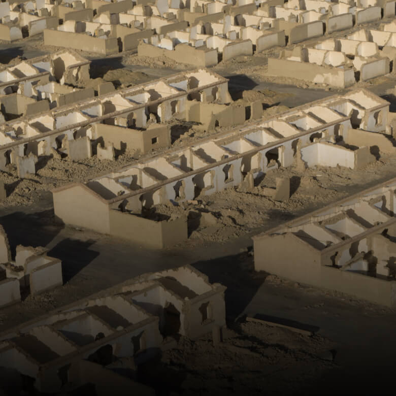
Emergency response
Collect critical insights in real time at any time of the day using color-fast point clouds.

Criminal prosecution
Gain situational awareness and forensic information in real time to make informed decisions on the ground.
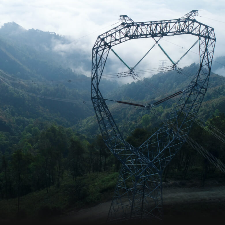
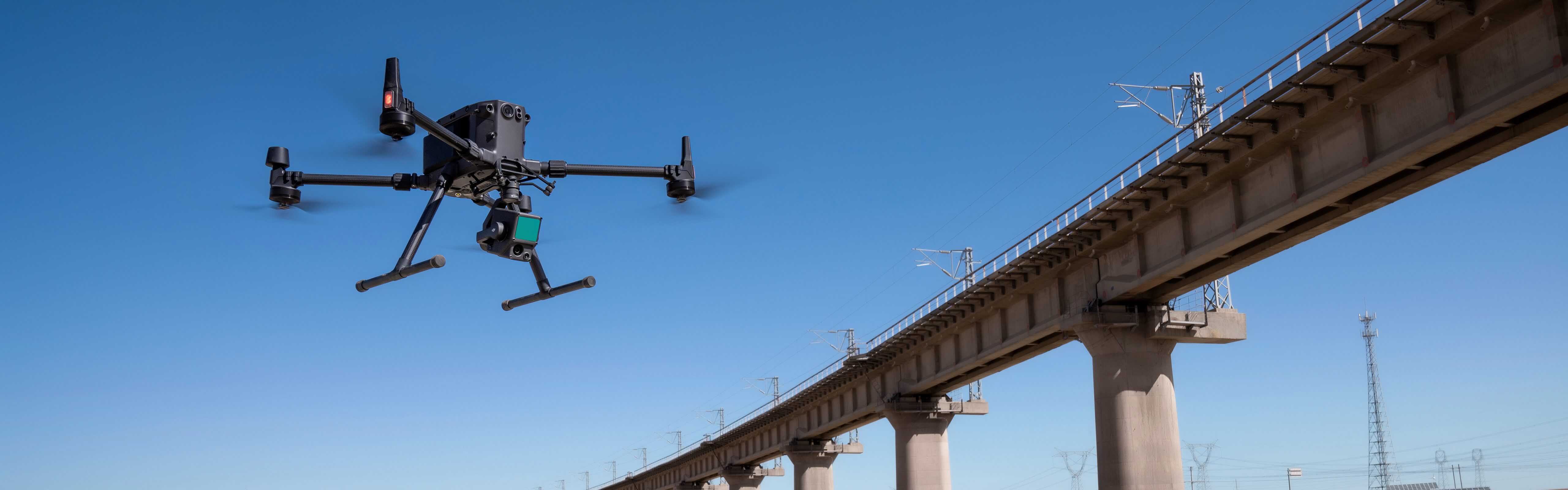
Energy and infrastructure
Model sparse or complex structures in detail to manage them efficiently and securely.
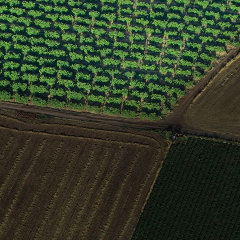
Agricultural and forest management
Get an insight into vegetation density, area, stand volume, canopy width and growth trends.
Delivery:
1x Zenmuse L1