")


Description
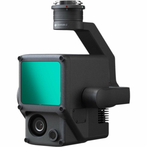
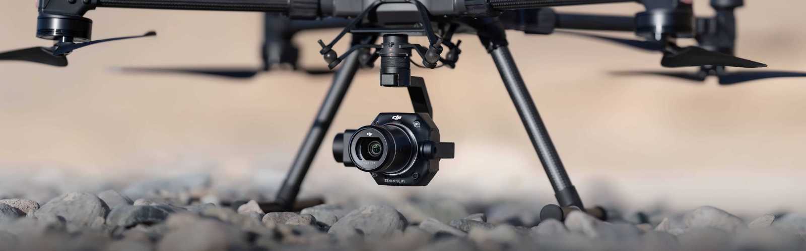
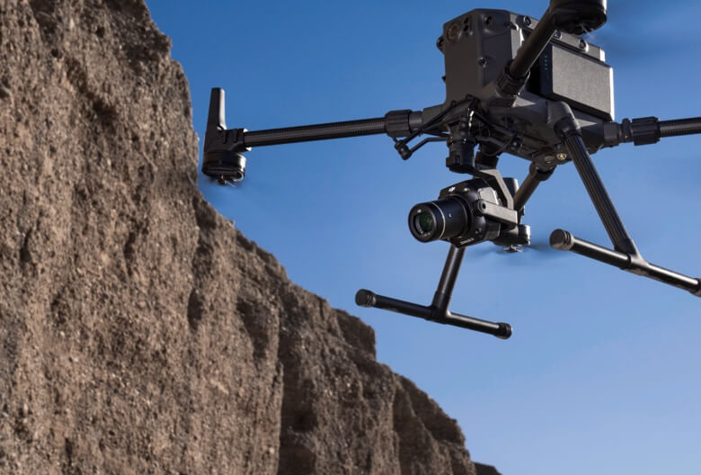
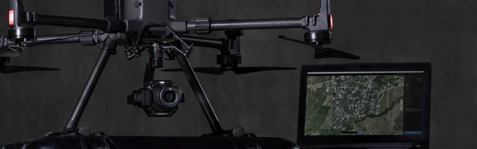
Zenmuse P1 - Efficiency through flexible full-frame photogrammetry.
The new standard for aerial surveying
The Zenmuse P1 includes a full-frame sensor with interchangeable lenses with a fixed focal length on a gimbal stabilized on three axes. It was developed for photogrammetry flight missions and takes efficiency and accuracy to a whole new level.
- Accuracy without GCPs 3 cm horizontally / 5 cm vertically
- High efficiency 3 km2 covered in just one flight
- 45 MP full frame sensor
- Gimbal stabilized on three axes. Intelligent angled recording
- Global mechanical shutter, shutter speed 1/2000 seconds
- TimeSync 2.0 - synchronization at microsecond level
Your entry-level tool for aerial photogrammetry
Exceptional efficiency
The P1 includes a low-noise, highly sensitive full-frame sensor that can take a photo every 0,7 s during flight and covers 3 km2 in a single flight.
Remarkable accuracy
Equipped with a global mechanical lock and the brand new TimeSync 2.0 system, which synchronizes the time across modules at microsecond level, the Zenmuse P1 enables users to capture centimeter-accurate data in combination with real-time position and orientation compensation technology.
Robust versatility
Create 2D, 3D and detailed models thanks to the integrated gimbal stabilized on three axes, which can be equipped with 24/35/50 mm lenses and the Smart Oblique Capture function.
Efficiency to cover it all - full frame camera
- 45MP full-frame sensor
- 4.4μm pixel size
- Low-noise, high-sensitivity imaging extends daily operational time
- Take a photo every 0.7 s during the flight
- TimeSync 2.0 aligns the camera, flight controller, RTK module, and gimbal at the microsecond level
Flexibility to capture everything
Multiple options for fixed focal length lenses
- Global mechanical shutter, shutter speed 1/2000 seconds
- Sends the average exposure pulse in microseconds
- Supports 24/35 / 50mm lenses with DJI DL mounts
Work smart, work fast
Smart oblique capture. Smart Oblique Capture
Cover 1 km7,5 with the P2 in a single working day [4]. Make your angled shots more efficient with intelligent angled shooting, which automatically rotates the gimbal to take photos at the various angles you need. Only photos that are necessary for the reconstruction are taken at the edge of the flight area, which increases the efficiency of post-processing by 20% [5] to 50% [6].
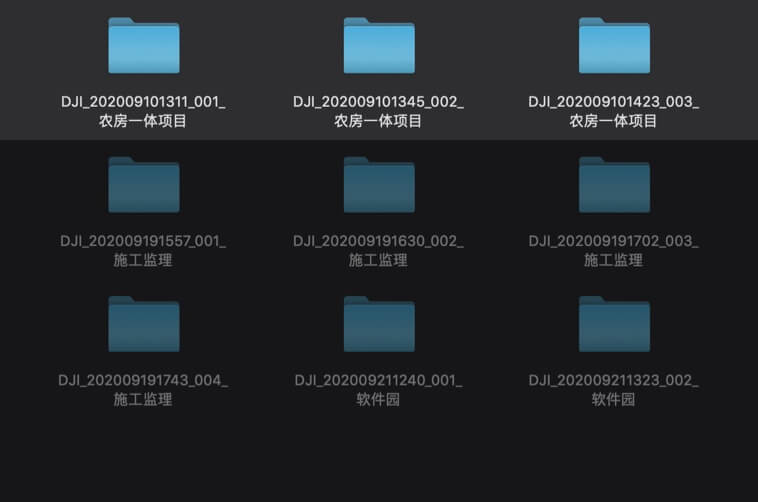
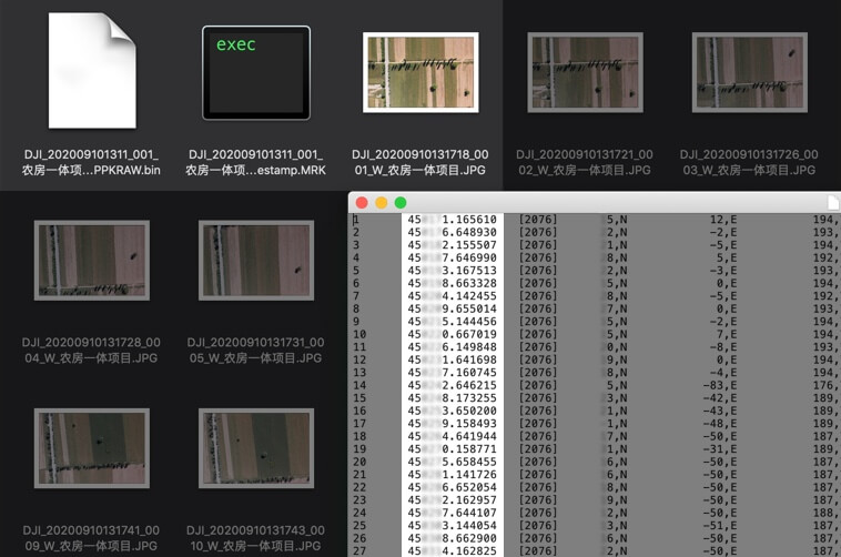
Intelligent data management
Your mission data management - streamlined.
- Mission results files are automatically linked to the mission name and time.
- A central storage location for photos, GNSS data and TimeStamps.MRK files.
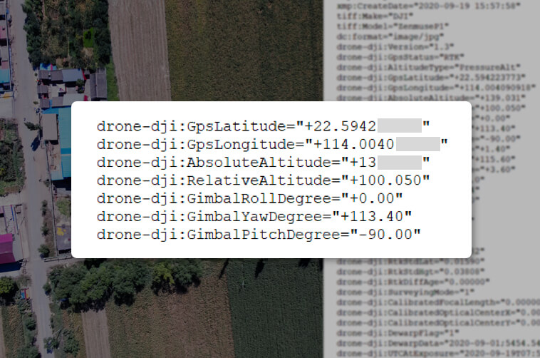
- The image metadata contains the camera-internal and external parameters and the status of RTK ..
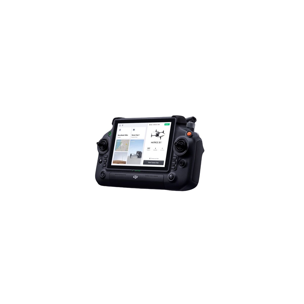
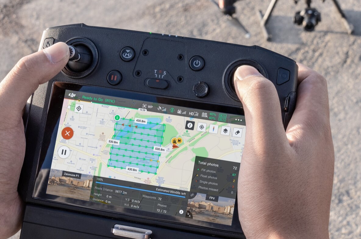 Fieldwork report
Check the data quality immediately after the flight by checking the position data and the number of pictures taken, as well as the RTK status and positioning accuracy.
A mission mode for every scenario
2D orthomosaic mission
Generate orthomosaics without GCPs with the P1 - perfect for use on medium-sized to large areas.
Flight orders with 3D oblique shots
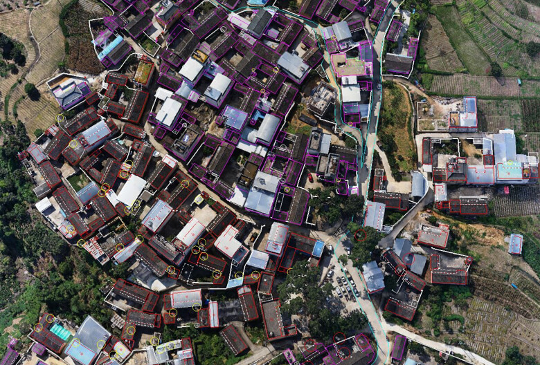
Easily capture multi-angle oblique images that meet the 3D modeling needs of a wide variety of industries, such as urban planning and centimeter-level cadastral surveys for 3D reality models and intelligent urban planning.
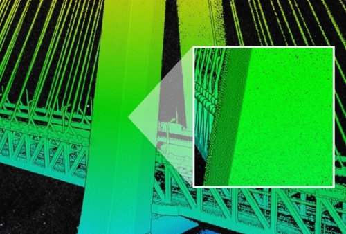
Detailed modeling tasks
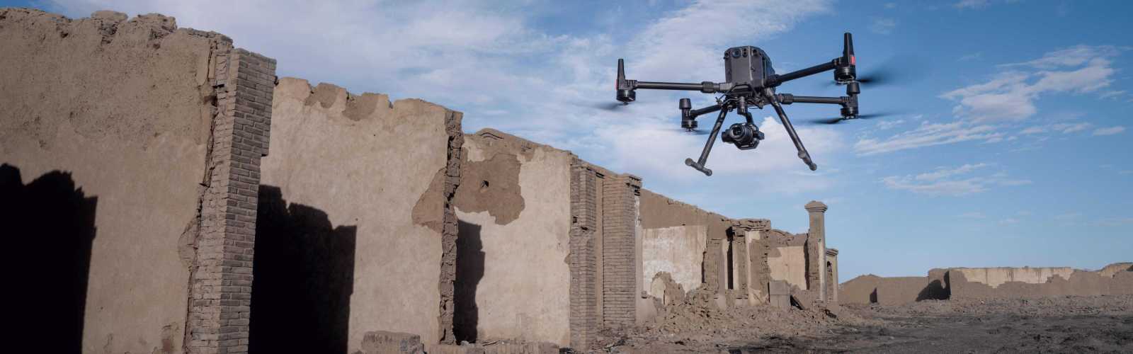
Capture extremely high-resolution image data of vertical and sloping surfaces from a safe distance that faithfully reproduce fine structures and features - for detailed reconstructions, geological surveys, cultural heritage conservation, hydraulic engineering and much more.
Mapping tasks in real time
Collect geographic data from large areas with DJI Terra in real time so that the teams on site can quickly make important decisions.
application scenarios

Topographic mapping
Collect data that meets 1: 500 scale accuracy requirements without GCPs.

Cadastral survey
Quickly generate 3D reality models with centimeter accuracy.

AEC and surveying
Manage the entire project lifecycle with 2D and 3D drone data.

Manage natural resources
Measure, classify, or determine whose property is water and forest.
Geological survey
Safely collect millimeter-accurate aerial image data from geological hazard areas.
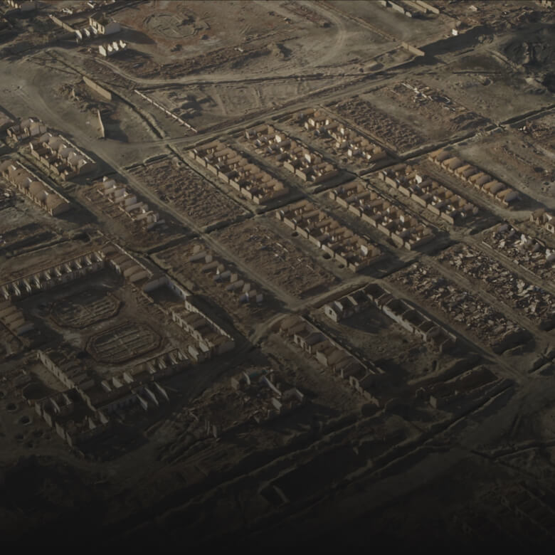
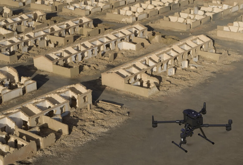
Modeling of disaster areas
Get a real-time overview of huge disaster areas to support teams in making important decisions.
Delivery:
1x Zenmuse P1 including 35mm lens
1x Care Enterprise Basic service package for Zenmuse P1 (12 months)
Note:
The Zenmuse P1 comes with a 35mm lens. The X7 DL lenses are unfortunately NOT compatible, but compatible lenses will follow.