Description
The current version of TerraCADdy Classic V sets new standards in terms of speed, usability, compartment depth and connectivity.
Over 30's years of experience and continued development have made CADdy V one of the most advanced CAD systems for geodetic data conditioning, surveying and layout design.
New modules and technologies such as DB server extension (storage of a project in a database), CADdy GPS, CADdy road planning or CADdy object data management make CADdy the innovation leader in the geo-industry.
CADdy V1, V2 and V3 - all in one bundle - that's CADdy V!
Feature Overview:
- Direct selection of all functions by means of context-sensitive pull-down icon menus and hotkeys for uncomplicated operation
- Sophisticated parameter control - can be manipulated as required
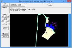
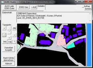
- Direct loading of the common ALKIS / EDBS formats of the German surveying authorities with ALB connection
- Automatic reading and designing of stock plans from coordinate files and other V2 projects
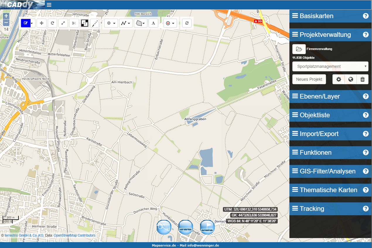
- Connection of common WMS servers such as cadastre, orthophotos and more, possibly with cost accounting of the surveying authorities
- Fracture edge generation also in the site plan
- Reloading and fitting non-geo referenced inventory plans via control points
- Imports and exports of common CAD and GIS data formats
- Direct project management in the input / output menu (new / save etc.)
- Automatic continuation of the coordinate database
- Convenience features for digitizing, constructing, dimensioning, and annotating embankment hatching, clothoids, and splines
- Automatic determination of the numbering district
- Reading digital terrain model data with altitude determination for digitized points
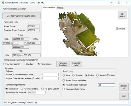
- Import of point clouds for further processing in the digital terrain model (volume calculation, terrain analysis, etc.)
- Comfortable coordinate conversions
To the short overview Improvements and innovations in chronological order
Here find the description working with the innovations
The CADdy V version contains:
- GP - The CADdy Classic basic package
- V1 - Technical survey calculations
- V2 - plan design
- V3 - digital terrain model (DGM)
- DXF / DWG Reader
- Import and export of common CAD and GIS formats
- Profiles - longitudinal and transverse profiles
- DB server - database conversion
Single user license:
Order no. 3418 € 5900, - plus VAT.
Upgrade offers from old CADdy versions from € 1900, -
extensions:
DWG converter order no. 3414 € 380, - plus VAT.
ALKIS-Studio order no. 3460 € 1500, - plus VAT.
PointCloudMinimizer Order No. 3442 € 500, - plus VAT.