Measure easily and quickly - evaluate efficiently
the faster, more accurate and the more efficient you make your field work, the more you can benefit. Measuring and drawing effectively has always been the maxim of CADdy philosophy.
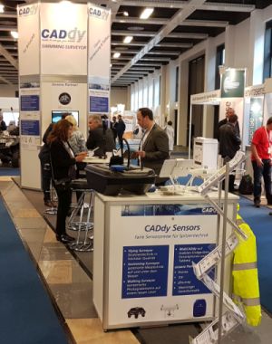
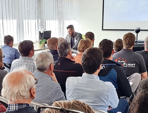
We visited you at 4 venues and over 100 participants came. The last date on the program is Munich, practically our home event. We will show you what we have developed over the last 12 months, the focus is on the new sensors (drones, boats, GPS, WebCADdy and BricsCAD.
Please log in here so that we can plan accordingly.
The seminar program
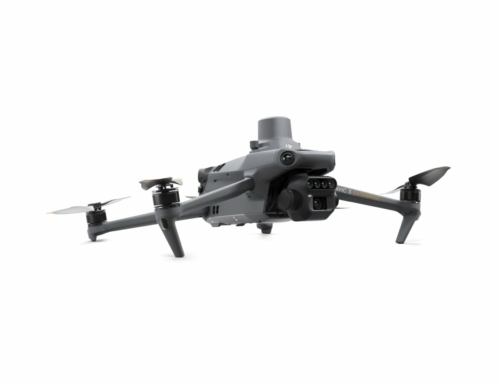
Flying Surveyor > new drones, new technologies, new training dates in 2017
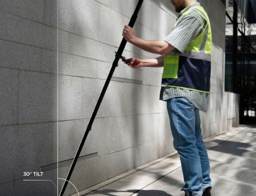
Moving Surveyor > where the drone can't get there, you can continue on foot or by bike
Swimming Surveyor > the simple and inexpensive measuring boat
CADdy 3Dsurvey > new 3D evaluation software for CADdy and BricsCAD formats
BricsCAD powered by CADdy> Working with the advantages of two CAD worlds
WebCADdy > Work in the cloud and in a swarm on any device
WebGIS > the easy way to your own geoportals.
Cost-optimized GNSS RTK receiver from Stonex
In order for us to plan better, please send us a short email when and where you would like to participate. iw@wenninger.de

Leave A Comment