At the end of the year, our measurement plugin "CADdy V for BricsCAD" has some exciting new features for the DWG world.
Get on board now and benefit from year-end discounts on orders up to December 31.12.2020, XNUMX!
You will then receive the “CADdy V” plugin for EUR 725 (instead of EUR 775) and the “PointCloudMinimizer” for EUR 450 (instead of EUR 500).
 We have added the following functionalities:
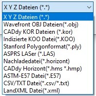
The possibility of importing E57 point cloud data was in great demand. The E57 file format is a compact, vendor-neutral format for storing point clouds, images, and metadata created by 3D imaging systems such as laser scanners. We complied with this and integrated E57 in the BricsCAD point cloud import and also in the point cloud thinning in addition to the numerous other formats.
Subareas from very extensive DWG drawings can now be saved including all measurement data from CADdy-V. To do this, use BricsCAD's on-board methods to create a corresponding section and, for example, copy and paste it into a new drawing.
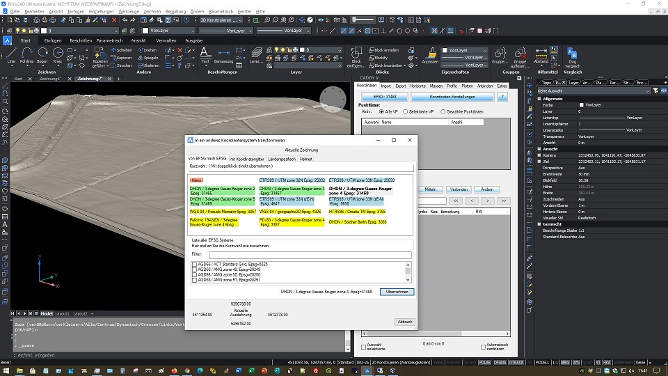
The CADdy-V transformation engine has been extended by the free 7-parameter transformation (Helmert). Any local projects can be geo-referenced using control points with just a few clicks. The transformation takes place directly in the open drawing, but can also be applied to external data, such as large point clouds in LAS or E57 format.
Of course, the coordinates are also available to you